Take the Scenic Route
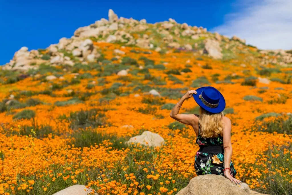
Lace up your hiking boots and get ready to wander! Miles of scenic trails wind through Murrieta’s wildflower fields, oak groves and rolling hills, just waiting to be explored. Some are easy strolls, others heart-pumping adventures. The thing they all have in common? Each one leads somewhere worth exploring.
know before you go
How’s the Weather in Murrieta?
The best time to hike in Murrieta is spring or fall, when trails are dry and temps stay in the 70s and 80s. Summer hiking gets hot— often in the 90s— so start early and pack water. Winters are mild, which makes Murrieta hiking a year-round favorite.
- Water & Sun Protection — Bring at least 1–2 liters, and don’t forget sunscreen or
a hat. - Layered Clothing — Remember that mornings can be cool, afternoons warm.
- Comfortable Shoes — Wear closed-toe shoes with good grip for rocky spots.
- Phone or Camera — You’ll want one for maps, photos, or just catching that perfect
view.


What to Expect
How’s the weather in Murrieta?
Spring and fall offer the best weather for hiking in Murrieta, with temps in the 70s and 80s. Summers can hit the 90s, so start early! Mild winters make Murrieta a year-round hiking spot.
What are the trails like in Murrieta?
Murrieta hiking trails range from flat and mellow loops to moderate climbs with scenic payoffs. With dirt paths, rocky stretches, and occasional creek crossings, good shoes are a must!
Are Murrieta hikes beginner-friendly?
Murrieta has plenty of easy hiking trails that are perfect for casual strolls, family outings, or anyone looking to soak up some sunshine and fresh air without breaking a sweat.
Will I see wildlife on my hike?
Keep your eyes peeled! Depending on the trail, you might spot birds, lizards, rabbits, deer, and more SoCal critters.
Is there cell service on the trails?
Cell service can be spotty on the more remote trailheads— download your trail map ahead of time just in case!
Mellow Hikes
Difficulty Indicator:

Tenaja Falls
- Short, easy hike to a scenic waterfall
- Remote trailhead, so download your map ahead of time
- Dog-friendly (leash required)

Cole Canyon
- Shady canyon paths with spring wildflowers
- Creek crossings and rocky sections (sturdy shoes recommended)
- Dog-friendly (leash required)

Sylvan Meadows Loop
- Wide, beginner-friendly trails with gentle elevation
- Benches and scenic viewpoints for relaxing
- Dog-friendly (leash required)

Vernal Pool Trail
- Easy loop trail with rare vernal pool views (best Jan–April)
- Small entrance fee to access Santa Rosa Plateau Ecological Reserve
- No dogs allowed on this trail
Moderate Hikes
Difficulty Indicator:

Rancho Los Alamos Loop
- Short, scenic loop with a quiet, peaceful vibe
- Easily accessible and great for a quick nature escape
- Dog-friendly (leash required)

Canyon Hills Flag Pole
- Steady climb to a scenic flagpole summit with sweeping views
- Wildlife spotting along the way— hawks, lizards, rabbits and more
- Quiet, peaceful trail with few crowds

Sykes Ranch Park Loop
- Scenic valley views with open, rocky trails
- Some steep inclines— wear sturdy shoes and bring sun protection
- Dog-friendly (leash or off-leash in designated areas)

La Alba Trail
- Scenic loop through protected habitat with wide-open views
- Seasonal closures possible— check conditions before you go
- Dog-friendly (leash required)

Santa Rosa Plateau Trail
- Scenic loop through grasslands, woodlands and rolling hills
- Small entrance fee to access Santa Rosa Plateau Ecological Reserve
- No dogs allowed on this trail
More Things to Do in Murrieta